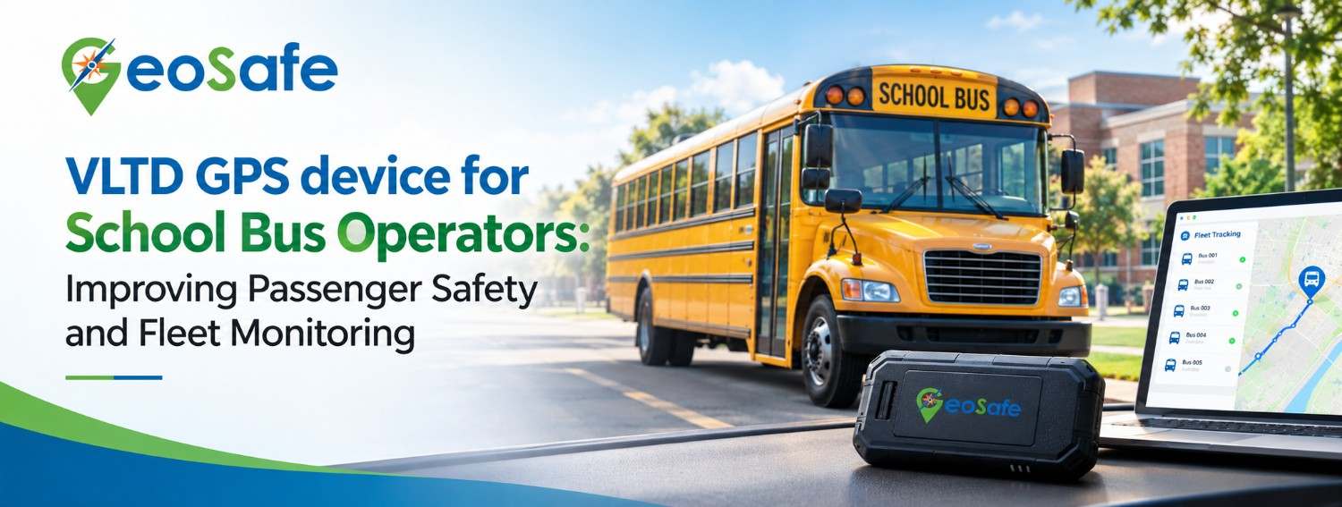
Running a school bus service is about more than getting students from home to school. Someone has to manage routes, drivers, pickup points and delays and parents expect answers the moment a bus runs late. GeoSafe offers vehicle tracking solutions that give transport operators real-time visibility, emergency alert support and practical fleet monitoring.
A VLTD GPS device suits school transport well because it combines location tracking with mobile connectivity and, where the system supports it, emergency alert functionality. When it’s selected and installed as per the applicable requirements, it helps administrators and fleet managers watch their buses, review trip details and respond faster when something unexpected happens.
Why School Bus Operators Need GPS Tracking
Without a central system, most administrators rely on phone calls to find out where a bus is. That works until it doesn’t. Confirming a delay, checking why a driver changed route or reacting to an incident quickly becomes slow and messy. GPS-based fleet monitoring solves much of this by putting location data on one connected platform.
Better Visibility of School Bus Locations
Real-time tracking lets authorised users see a bus’s reported location on a digital map. Coordinators can check whether vehicles are following their planned routes and spot unusual stops. If a bus is late during morning pickup, the team can look at its last reported location before calling the driver, which gives them a clear place to start.
More Effective Emergency Response
Breakdowns, road incidents and safety concerns can happen on any route. An emergency alert system helps communicate that someone needs assistance. Still, tracking technology doesn’t replace emergency procedures, and it can’t promise instant help. Schools need clear response responsibilities, up-to-date contact details and trained staff who know how to handle an alert.
Improved Accountability
Digital location records make it easier to review vehicle movements and look into reported route deviations. Used together with driver logs and attendance records, they strengthen transport oversight.
What Is an AIS-140 GPS Tracking Device?
AIS-140 is an automotive industry standard that sets out requirements for vehicle location tracking devices and related systems used in applicable transport settings in India. It supports vehicle monitoring and emergency alerts, and implementation involves the relevant state or union territory systems.
A VLTD AIS140 solution usually includes a vehicle-mounted tracking unit, satellite positioning, mobile network connectivity and a backend platform that receives and displays vehicle data. Depending on the approved configuration, it may also offer emergency buttons, backup storage and integration with designated monitoring infrastructure.
One caution, not every GPS tracker meets AIS-140 requirements. Operators should check the device’s certification, its compatibility with the state tracking platform and any rules specific to their vehicles.
How the System Works
Location detection:
The device receives positioning data from supported satellite navigation systems.
Data transmission:
The unit sends that data over its mobile network connection.
Platform monitoring:
The software shows vehicle locations and related information to authorised users.
Alert handling:
Where configured, emergency inputs and other supported alerts go to the designated system for assessment and response.
Connectivity, configuration, backend compatibility and installation quality all affect how well the system performs.
Key Features That Support School Transportation
Real-Time Vehicle Tracking
A live dashboard lets transport managers follow buses during operating hours, check route progress and respond to delays. GeoSafe’s listed solution offers real-time vehicle tracking through a web and mobile platform. Operators should confirm the access, configuration and reporting features they actually need.
SOS and Emergency Alert Support
A supported SOS or panic button gives a way to signal distress, depending on how the device and system are set up. For school buses, operators should check the emergency-button requirements separately from the tracker’s own SOS support. Passenger-accessible buttons, their placement, backend connectivity and response procedures all need to be verified against the applicable standard and local rules.
4G Connectivity and 2G Fallback
Network strength varies between city roads, highways and rural routes. GeoSafe’s product supports 4G connectivity with 2G fallback, subject to network availability and configuration. That’s a useful extra option, but it won’t guarantee uninterrupted service everywhere, so it’s worth checking coverage along your real routes before deployment.
Data Backup During Connectivity Gaps
Buses sometimes pass through weak-signal areas. A tracker with local storage can hold supported location records and send them later, which reduces gaps in trip data. GeoSafe lists data backup for its device. Confirm the storage capacity, retention behaviour and recovery process before relying on the records for reviews.
Multi-System Positioning Support
GeoSafe’s product supports GPS, GLONASS and IRNSS-related positioning. In practice, accuracy depends on satellite visibility, installation conditions, obstructions and device configuration.
Power Monitoring and Backup
Power sensing and battery backup help operators investigate interruptions in device operation. Verify the backup duration and alert behaviour for your specific model, and add device power checks to regular vehicle maintenance.
How GPS Tracking Improves Daily Fleet Management
Route Monitoring and Delay Management
A dashboard lets coordinators compare actual movements against planned routes. Picture a school running ten buses across different neighbourhoods. Without central tracking, the coordinator may have to phone several drivers just to learn which buses are late. With a shared platform, they get an overview of reported locations first and can prioritise their follow-up calls.
Trip History and Incident Review
Depending on the platform’s reporting features, historical data can show where a bus went, when it stopped and whether it stayed on route. That helps with reviews of delays, complaints and route planning. Access should stay with authorised staff, and records should be kept according to the school’s privacy and data policies.
Better Coordination Between Drivers and Administrators
A tracking platform gives staff a common reference point. Instead of guessing, coordinators can use actual location data to make decisions. It should support direct communication with drivers and standard reporting procedures, not replace them.
Choosing the Right GPS Device for a School Bus Fleet
The right device depends on vehicle type, regulations, connectivity, monitoring needs and budget. Before buying, check these points.
Certification and compatibility. Check AIS-140 requirements against current rules instead of assuming they’re identical for every school-owned or contracted vehicle.
Full installation requirements. A tracking unit alone may not cover everything a regulated passenger vehicle needs. Find out whether emergency buttons, SIM or eSIM connectivity, wiring, platform access and backend integration are included or must be arranged separately.
How GeoSafe Supports Vehicle Tracking Requirements
GeoSafe offers a wired vehicle tracking solution for transport operators, fleet owners, bus operators and other commercial vehicle users. Its VLTD AIS-140 product includes real-time tracking, SOS or panic button support, 4G connectivity with 2G fallback, eSIM support, multiple IP data sharing and data backup. The product page also mentions support for RTO-related fitment processes and national permit vehicles.
School bus operators should still confirm suitability for their vehicle category, school transport rules, emergency-button configuration and state backend integration before purchase. A sensible evaluation covers technical specifications, installation arrangements, service requirements and the monitoring platform.
Frequently Asked Questions
1. What is a VLTD GPS device used for in school buses?
It records a vehicle’s location and sends tracking data to a connected platform. Depending on configuration, it may also support emergency alerts and trip history.
2. Is AIS-140 GPS tracking mandatory for every school bus in India?
It depends on the vehicle category, registration details, central rules and state or union territory regulations. Check current requirements with your transport authority.
3. Can school administrators track a bus in real time?
Yes, once the device is installed, activated, connected and linked to a working monitoring platform, authorised administrators can view reported locations.
4. What should operators check before buying an AIS-140 device?
Certification, state backend compatibility, installation needs, emergency-button arrangements, connectivity, data backup, software access and ongoing costs.
5. Can GPS tracking help identify school bus route deviations?
Yes. Live location data and trip records help authorised staff spot possible deviations and check them against the assigned route.
Conclusion
School bus tracking can improve location visibility, help coordinate responses to delays, support trip reviews and strengthen daily fleet oversight. A suitable AIS-140-compatible solution may also help meet vehicle tracking and emergency alert requirements, provided the full installation and backend setup follow the relevant rules.
GeoSafe offers tracking hardware and monitoring capabilities that operators can evaluate against their own needs. Before deciding, confirm suitability for school buses, required emergency equipment, state-specific integration and ongoing service arrangements.
Looking to improve school bus safety and fleet visibility? Contact GeoSafe to discuss your vehicle tracking requirements, installation needs and the right monitoring solution for your fleet.